Updated: 25 October 2026 · By Offroad Dilijan
A medieval forest monastery above Dilijan — churches, refectory and a Dimats connection.
What to see at Haghartsin
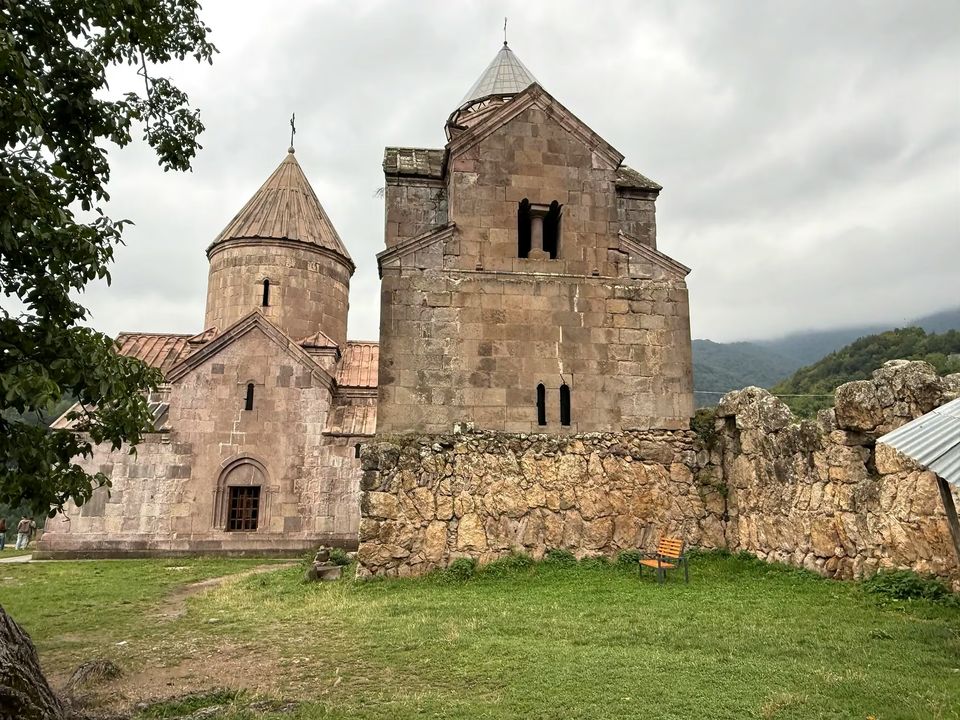
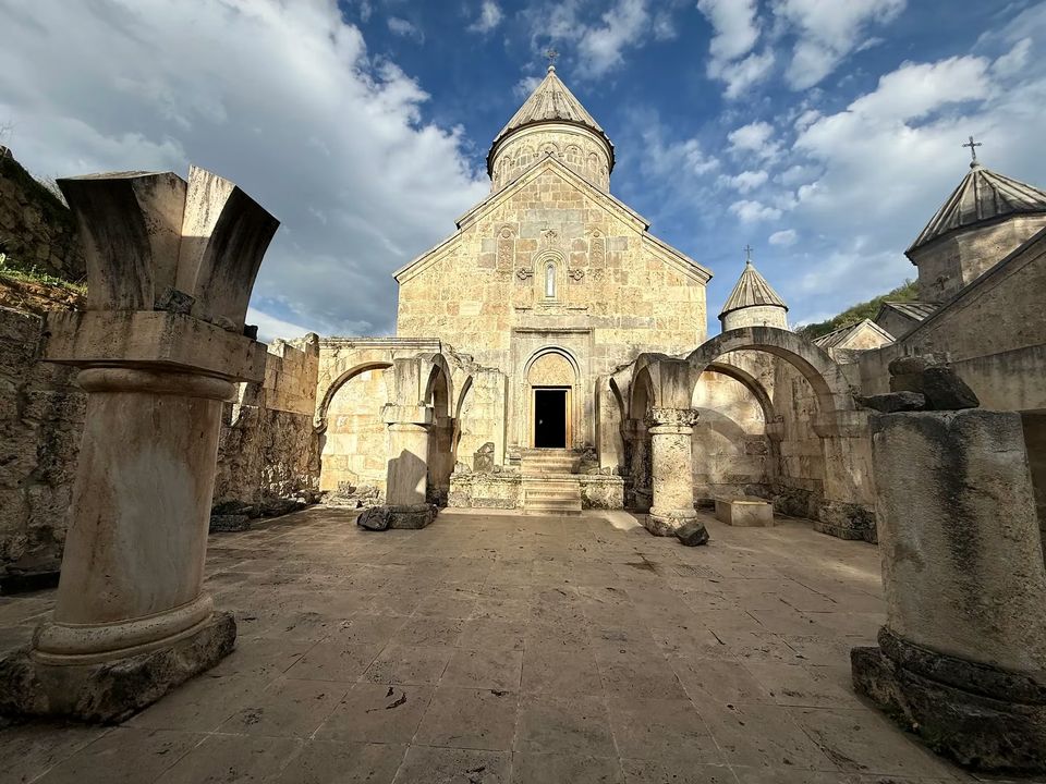
- St. Astvatsatsin (Holy Mother of God), 1281. The largest church and the centrepiece of the complex, topped by a sixteen-faced dome. Low reliefs on the east facade show two monks holding a model of a church.
- St. Stepanos (St. Stephen), 1244. A smaller church; look for the lion relief on its outer wall, a symbol of the Bagratuni dynasty.
- St. Grigor (St. Gregory). The oldest building, probably 10th-century, entered through the 12th-century gavit — a square entrance hall with four internal supports.
- The refectory, 1248. Built by the architect Minas: two square bays divided by pillars and roofed with intersecting arches.
- Khachkars and the royal tombs. Finely carved 13th-century cross-stones stand around the complex. Beside St. Grigor are the remains of a burial chamber; two of its three gravestones survive, and who exactly lies there is still debated.
A local legend says a hollow half-column in the gavit once hid the monastery's treasures during wars.
A short history
Haghartsin is thought to have been founded around the 10th century, though the exact date is unknown. It was almost destroyed in the 11th century during the Seljuk invasions. From 1184 the Zakarid princes Zakare and Ivane had it rebuilt, and the 13th-century historian Kirakos Gandzaketsi credits abbot Khachatur of Taron with its reconstruction and expansion.
Parts of the complex were damaged later — the gavit of St. Astvatsatsin survives only as foundations — and a major restoration was completed in 2011 with funding through the Armenia Fund.
How to get there and when to go
- By car: the road to the monastery is paved and there is a large parking area. From Dilijan it is roughly 18 km, from Yerevan about 110 km. There is usually a gift shop and a bakery by the entrance.
- On foot: Haghartsin lies on the Transcaucasian Trail, so long-distance hikers pass through it.
- With a tour or taxi: you can also visit as a day trip from Dilijan.
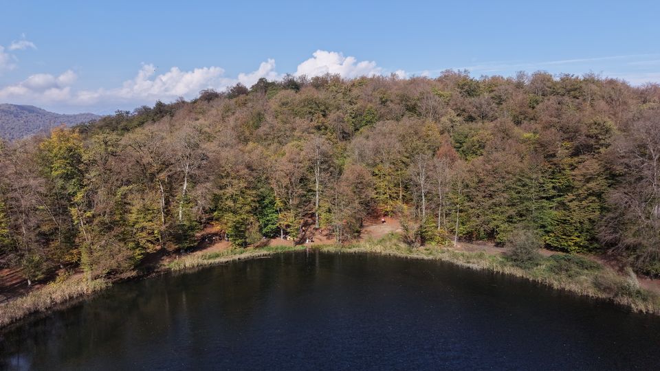
- When: the complex is open-air in a forest, so late spring to early autumn is easiest; October brings autumn colours. In winter check road and weather conditions first.
- Etiquette: it is a place of worship — dress modestly and keep your voice down inside the churches.
Combine it with Dimats, Parz and Goshavank
Lake Parz and Goshavank are separate excursions, not stops on the monastery grounds. Check road distance from your actual start and allow for transfers, visits and the return journey before combining them.
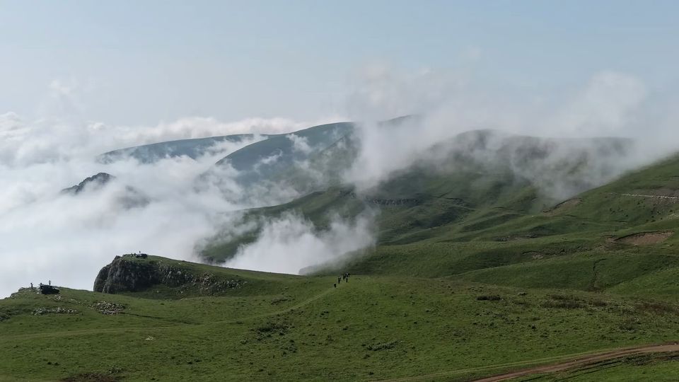
For Mount Dimats, distinguish Haghartsin village from the Haghartsin Monastery road: they are different starting points. The published village GPX runs approximately 10.4 km one way from 40.77530, 44.97443 to the summit marker at 40.82547, 44.94333. The separate monastery-road GPX runs approximately 7.9 km one way from 40.80173, 44.90132 to the same summit marker.
These lengths were checked against the published GPX points on 24 October 2026. They exclude the journey to the mapped start and the return trip; neither figure is the distance from the monastery buildings. The tracks are planned routes, not a report of current road conditions. Choose the route and confirm suitable transport and access before setting out. Compare the Mount Dimats route map and download the GPX tracks.
A monastery visit and a mountain extension need separate travel time and transport planning. Ask us to check whether a combined day is realistic for your date, starting point and group. See Dilijan and Mount Dimats tours or the 1- and 2-day Dilijan plans.
FAQ
How far is Haghartsin Monastery from Dilijan?
Roughly 18 km by road according to tour-operator listings, on a paved road.
How long do you need at Haghartsin?
Plan about an hour for the three churches, the refectory and the khachkars; add time for a walk in the forest or a bite nearby.
Can I visit Haghartsin and Mount Dimats in one day?
It may be possible, depending on your starting point, route, transport, stops and mountain conditions. Haghartsin village and the monastery-road route have different mapped starts. Confirm a realistic schedule and summit access before booking a combined trip.
When was Haghartsin built?
The oldest church is probably from the 10th century; the main buildings date from 1184 to 1281, after the Zakarid princes Zakare and Ivane rebuilt the complex.
Sources and notes
Distances are approximate and based on public tour-operator listings. Opening conditions and facilities can change — check before you go.