
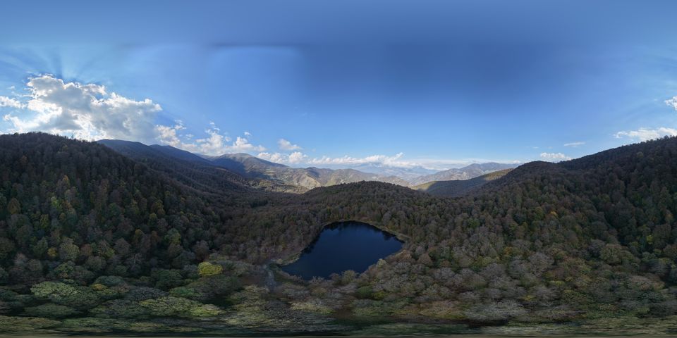

Dilijan and Tavush, from above
An independent guide to the places and mountain tracks of Dilijan and Tavush, Armenia, with dated route notes and our own drone films.
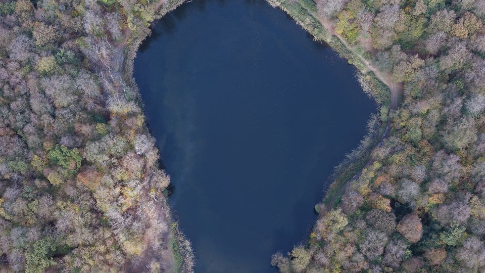
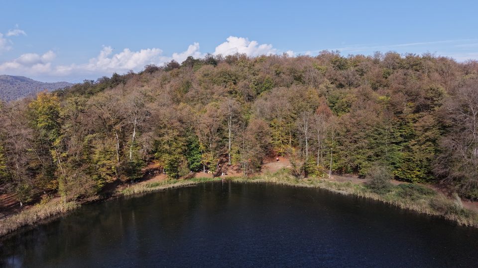
Gosh Lake, Tavush · drone photograph, 24 Oct 2026 · Photo: Offroad Dilijan
Where to start
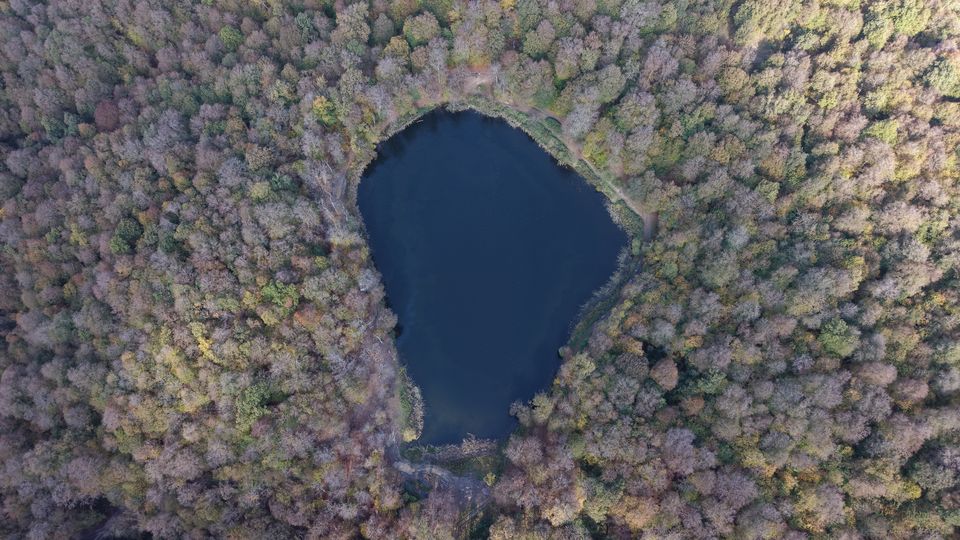
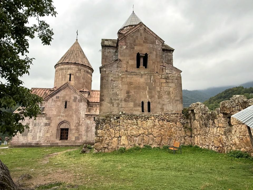
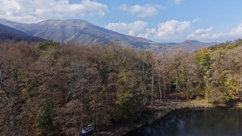
Gosh Lake, Haghartsin, Goshavank and Mount Dimats. Photographs: Offroad Dilijan.
Practical notes first
What the guides tell you before the scenery does.
Late spring to early autumn
Best for mountain tracks. In the cold season, access depends on snow and track conditions.
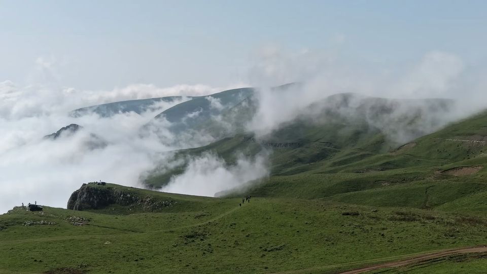
Know the road
Dimats is reached by an unpaved mountain track; a regular car is not suitable for the last stretch.
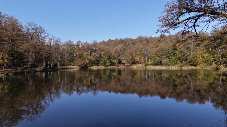
Planned GPX tracks
One-way distances measured along each track, checked 24 October 2026. Planned routes, not current conditions.
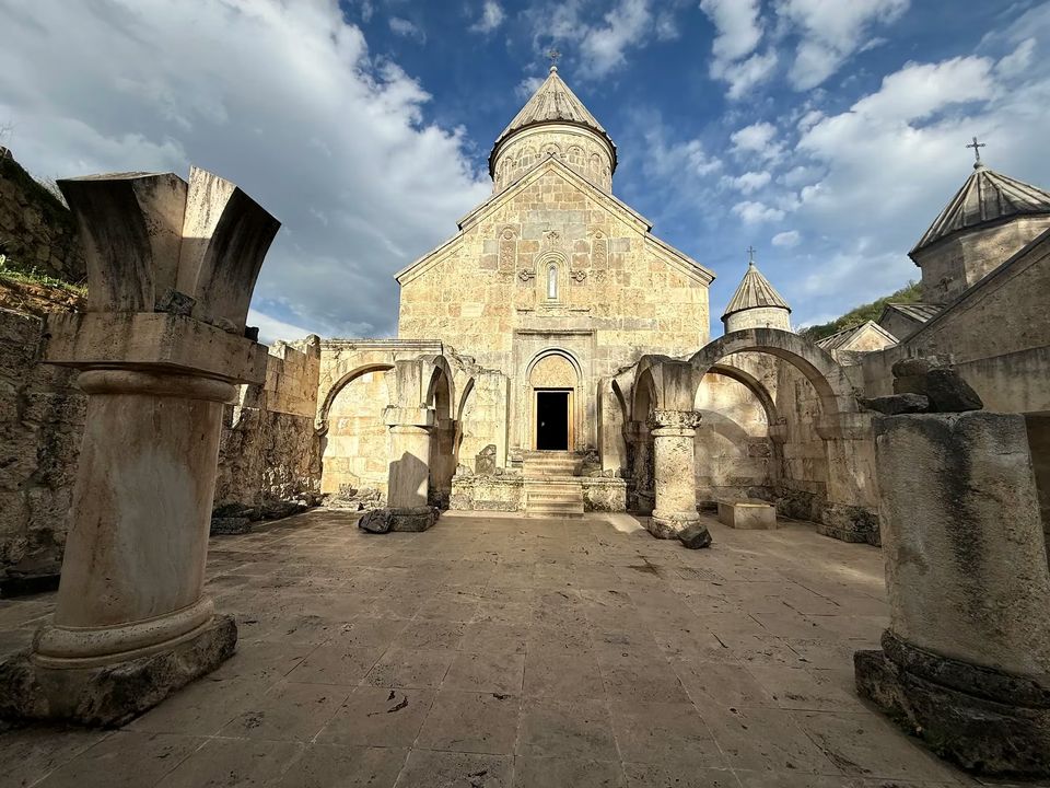
Dated guides
Every guide shows when it was last updated, so you can judge how current it is.
See it from above, then from the trail
Original drone and point-of-view footage from Offroad Dilijan on YouTube.
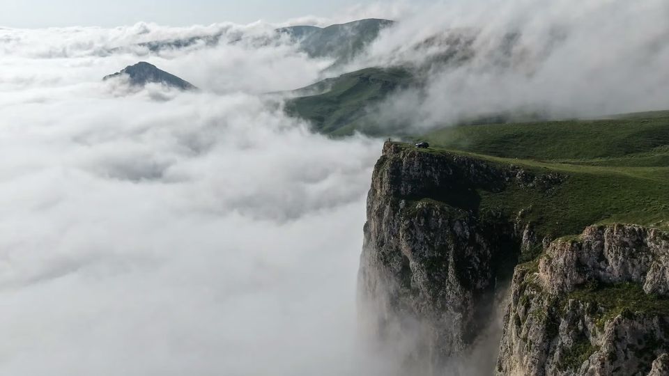
Mount Dimats, three ways up
About 2,380 m above sea level in Tavush, near Dilijan. An unpaved mountain track leads to the summit from Teghut and Haghartsin.
Distances measured along published GPX tracks on 24 October 2026; they exclude travel from Dilijan or Yerevan. Planned routes, not current road conditions.
Schematic, not a map
Plot of the published GPX points, north up; one-way distances checked 24 October 2026. Planned routes only: not a report of current conditions or a safety assessment, and not for navigation. Confirm access before you set out. Interactive map and GPX downloads
- Elevation
- ≈ 2,380 m
- Planned routes
- 3
- Shortest
- 7.9 km one way
- Season
- Late spring to early autumn
How enquiries work
Send your preferred date, group size, starting point and the places you would like to see.
- Send your details On WhatsApp, with the date, group size and starting point.
- We reply With route and season notes. Where a partner operator may suit your plan, we may suggest one.
- If an operator is suggested They confirm availability, vehicle, price and inclusions with you directly before anything is agreed. Sending a message does not confirm a booking.
Opens WhatsApp in a new tab.